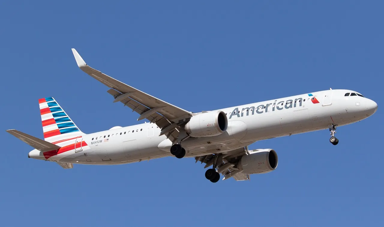
Ronald Reagan Washington National (DCA) is a key airport for the capital city of the US. Situated just a stone's throw from the city center across the Potomac River, the airport is an important short-haul base for American Airlines and its American Eagle regional brand, and is known for having one of the most picturesque approaches in the whole of the US. But why do planes landing there make such late turns?
Of course, as an airport with three different runways, there are multiple ways in which planes can approach Washington National Airport depending on the prevailing conditions.
However, according to Infinite Flight, the main one of these (and also the longest at 2,094 meters or 7,169 feet in length) is runway 01/19, which runs more or less from the north to the south of the landmass that houses the airport.
As seen in the video embedded above, when approaching this runway from the north to land on the southward 19 heading, passengers and pilots are treated to spectacular views of the city.
Known as the river visual approach, coming into land at Washington National Airport this way sees pilots, as the name suggests, using the Potomac River to fly visually toward the airport. However, this isn't just for show.
Indeed, while the spectacular sightseeing views of the city are undoubtedly an enjoyable phenomenon for those flying this way, this isn't the primary reason why the approach follows this course.
Indeed, the main purpose of this approach path is actually to ensure that aircraft coming from the north avoid two different areas of heavily restricted airspace over the center of the American capital city.
According to Washington National Airport, these areas are known as P-56A and P-56B, and prohibit the use of aircraft in areas of political significance. P-56A spans from the Lincoln Memorial in the West to the US Capitol Building in the East, with this region also containing the White House.
K Street is the northern boundary, while Independence Avenue and Southwest Freeway define the south side.
While the White House serves as the home of the US President, the residence of the Vice President at the US Naval Observatory is also in a protected area. Known as P-56B, this region is more simply defined, with the restricted airspace simply spanning a half-mile radius from the site.
Given the high-security implications of these restricted areas, violation penalties are severe, with the airport noting that:
"Within P-56 airspace, the operation of commercial and private aircraft near the US National Mall, White House and Naval Observatory is prohibited. The FAA and US Secret Service enforce the P-56 airspace and investigate all P-56 airspace violations. The federal government can pursue legal action against a pilot found to be in violation of the regulation. P-56 airspace violation penalties may include the revocation of the pilot's license and jail."
While airspace restrictions and visual approaches are part and parcel of the world of modern aviation, the way in which these two factors combine at Washington National Airport makes for a unique challenge.
Indeed, the prohibited areas are located almost directly to the north of the facility's north-south runway 01/19, making straight-in landings unviable and hence prompting the river visual approach.
A major operational upshot of this is the fact that aircraft coming into land at Reagan in this manner have to make rather last-minute turns at low altitudes in order to line up with runway 19.
This represents a considerable contrast to facilities elsewhere that are not dictated by restricted airspace, where approaching jets can line up with the runway heading much further out and fly straight in.
According to JetHead, a typical river visual approach into runway 19 at Washington National Airport requires pilots to make a 40-degree right turn from a heading of 145 to 194 degrees in order to line up with the landing strip.
This takes place at an altitude of 424 feet off the ground, which gives little margin for error. While DCA is only served by smaller jetliners, this is still a considerable test of maneuverability.
That being said, these conditions do make for spectacular scenes for the airport's local planespotters, who gather under the approach path at Gravelly Point.
This vantage point gives enthusiasts and photographers a prime view of the tight turns made by approaching aircraft, which then pass over at a low altitude shortly before touching down. As seen above, such spectacles always turn a few heads.
From a passenger point of view, Washington National is most notable for its arrivals along this path, as the slower rate of descent allows for ample time to admire the sights.
However, conditions may sometimes dictate that aircraft have to depart to the north using runway 01, which, once again, would bring them directly into the path of the restricted airspace. For this reason, takeoffs are strictly controlled.
Indeed, the airport notes that "aircraft departing to the north/northwest are required to initiate an immediate left turn to avoid flying through P-56 prohibited airspace." They then "continue on a northwest heading [along the river] for about 10 miles (...) before being vectored to their destination." Meanwhile, for flights departing to the northeast, the following protocols are in place to avoid entering the zones:
"Aircraft departing to the north/northeast are required to initiate an immediate right turn to avoid flying through P-56 prohibited airspace. Aircraft continue on a northeast heading for about 5 miles, which approximates the position of the Anacostia River, before being vectored to their destination."


